 The Monopoly Pub Crawl London is not for the faint at heart or the lightweight drinker. It’s basically a marathon. We want to say now that you should drink responsibly and be respectful to the bar keeps, patrons and neighborhoods you visit. This crawl is about speed and having fun. There are 28 stops. These include 22 streets, 4 railroads, a Jail pub and a Community Chest pub. We skipped the utilities companies as there is just not enough time in the day to get all these pubs in. Most pubs open at noon, so that’s your starting time. There is travel time that needs to be added into the crawl too. If you’re not quick enough, you’ll meet with closed pubs by the end of the night. Most places close early in the city of London, so keep that in mind. We’ve also tried as best we can to stick to pubs. Unfortunately we did have to pick a couple of bars, as they were actually on the street or closer to the streets on the board then some of the pubs. there are a couple of stops, the Vine St. location in particular, that you will have to bring your own tipple if you want to drink ON that street. There are no pubs or bars there any longer.
Our crawl is different from the Original Monopoly pub crawl for London website. If fact it’s different from a lot of the crawls we saw online. Yes, we did pick some o the same pubs as those other crawls, but we had to as there were no alternatives. With the old crawls, we found that a lot of the pubs listed are no longer open, or they were not close enough to the street locations named on the board as we had hoped. I did a lot of research for this crawl, spending hours researching. I believe we have an up to date, most accurate and 95% pubs pub crawl. You can do this crawl in the order of the spaces on the board, or you can follow a straight forward route. That being said, chose wisely and I hope you enjoy yourself. Good Luck.
You can download the PDF for the crawl here if you don’t want to use your phone. This and many more crawls are on our app. Be sure to check it out!
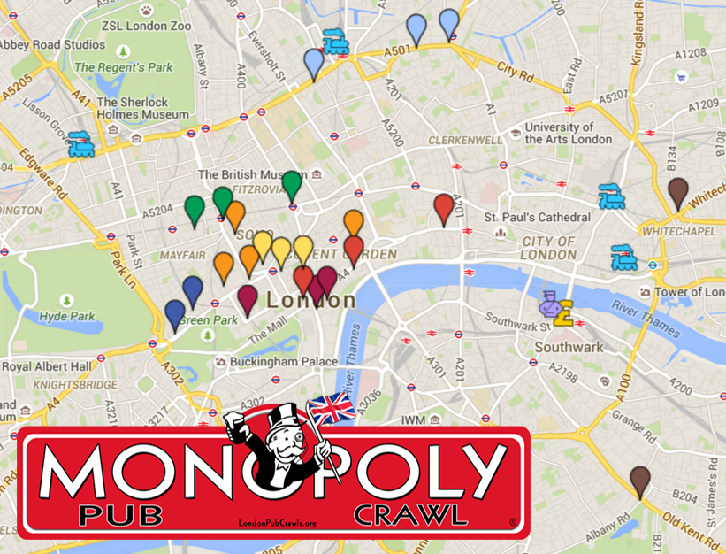
The Map
Directions for the Monopoly Pub Crawl – Straight Forward
Use caution – may involve errors or sections not suited for walking. Public transport can be effected by works on roads or railway lines. These directions are given as a guide. Please make sure you verify trains and buses are running before heading out on the crawl. You might have to find alternative routes. All times are guess-timated and are a close as they can be to actual times.
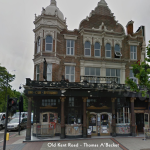
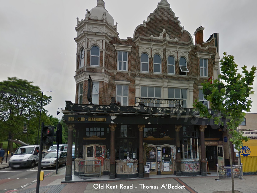
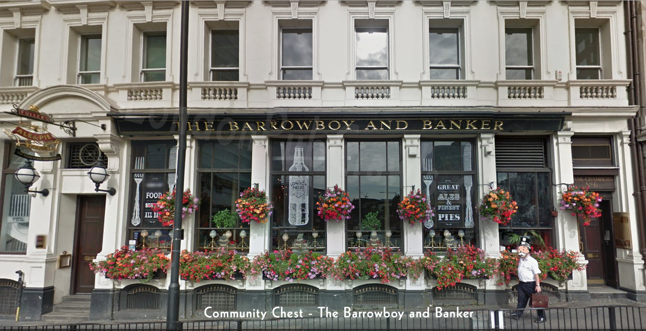
From Old Kent Road (Thomas A’Beckett) To Community Chest (The Barrowboy & Banker)
 TO
TO 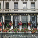
Bus: 16 minutes total. I don’t recommend walking (30+ minutes)
- Walk About 2 min , 302 ft Dunton Road (Stop WN)
- Bus 21 towards Union Street / Borough High St (7 stops) – London Bridge Borough High St (Stop M) 13 min
- Walk About 1 min , 243 ft A3
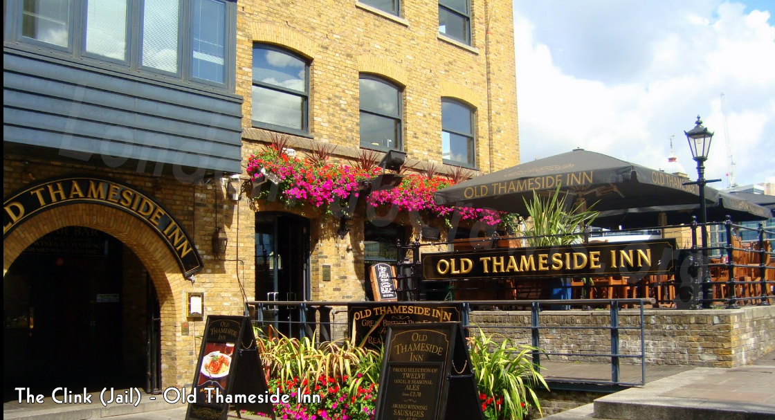
From Community Chest (The Barrowboy & Banker) to The Clink/Jail (The Old Thameside Inn)
TO 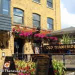
Walking: 4 minutes
- Head northeast on Borough High St/A3 toward Duke St Hill/A200 174 ft
- Turn left onto Montague Cl – Take the stairs 0.1 mi
- Turn right onto Cathedral St – 161 ft
- Turn right toward Clink St – 82 ft
- Turn left onto Clink St – Destination will be on the right 66 ft
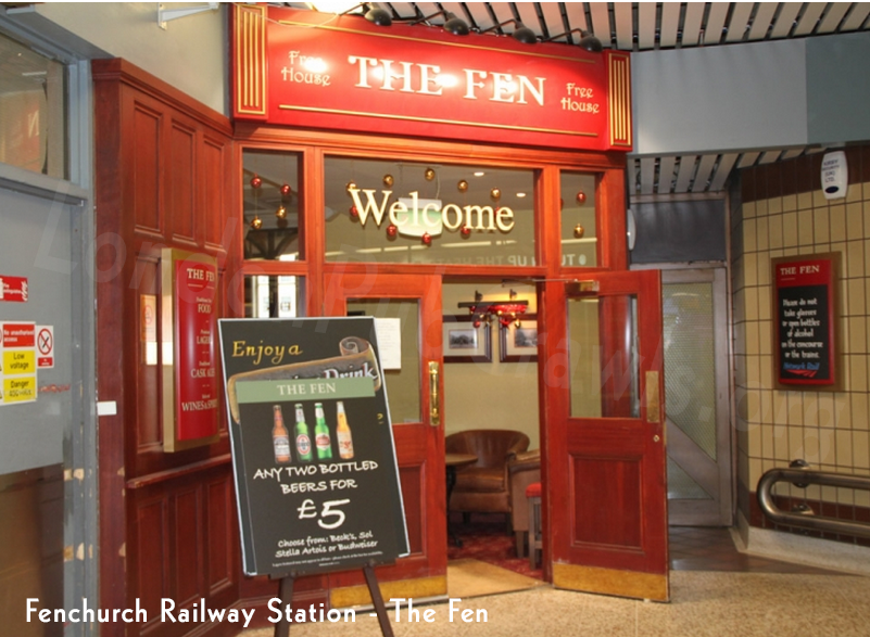
From The Clink/Jail (The Old Thameside Inn) to Fenchurch Street Station (The Fen)
TO 
Take Bus: 16 minutes total
- Walk About 6 min , 0.2 mi
- London Bridge Bus 149 – towards Edmonton Green Bus Station 4 min (3 stops) Fenchurch Street (Stop M)
- Walk About 6 min , 0.3 mi The Fen
Walking: 20 minutes total
- Head east on Clink St – 66 ft
- Turn right toward Winchester Square – 82 ft
- Turn left onto Winchester Square – 33 ft
- Winchester Square turns right and becomes Cathedral St – 128 ft
- Turn left onto Montague Cl – 0.1 mi
- Turn left onto Borough High St/London Bridge/A3 – Continue to follow A3 – Take the stairs – 0.3 mi
- Turn right onto Eastcheap/A1213 – Continue to follow A1213 – 0.1 mi
- Turn right onto Fenchurch St – 0.3 mi
- Turn right onto Fenchurch Pl – 269 ft
- Turn left – 3 ft
- Walk for 43 ft
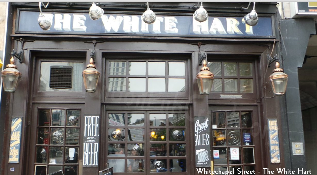
From Fenchurch Street Station (The Fen) to Whitechapel Rd (The White Hart)
TO 
Walking: 10 minutes total
- Walk for 43 ft
- Head west toward Fenchurch Pl – 3 ft
- Turn right onto Fenchurch Pl – 269 ft
- Turn right onto Fenchurch St – 417 ft
- Slight right to stay on Fenchurch St – 164 ft
- Continue onto Aldgate – 328 ft
- Continue onto Aldgate High St/A1211 – 0.1 mi
- Slight left onto St Botolph St/A1211 – 46 ft
- St Botolph St/A1211 turns slightly right and becomes Whitechapel High St/A11 Destination will be on the left – 0.2 mi
Whitechapel Rd (The White Hart) to Liverpool Street Station (Hamilton Hall – Street-level Concourse)
 TO
TO 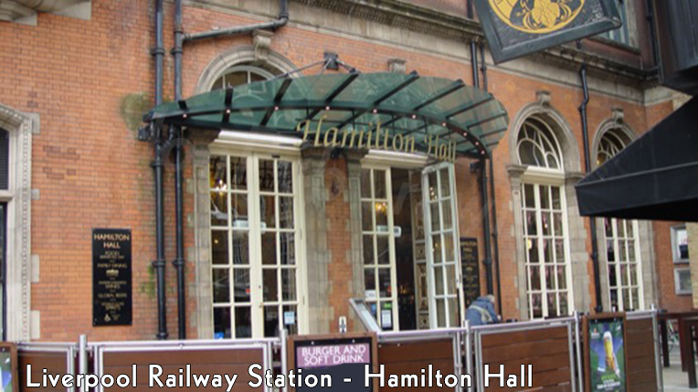
Walking: 14 minutes
- Head southwest on Whitechapel High St/A11 toward Commercial St/A1202 – 0.2 mi
- Slight right onto St Botolph St/A1211 – 285 ft
- Turn right onto Middlesex St – 0.2 mi
- Turn left onto Harrow Pl – 200 ft
- Turn right toward New St – 148 ft
- Turn right toward New St – 361 ft
- Continue straight onto New St – 371 ft
- Turn left onto Bishopsgate/A10 – 20 ft
- Turn right – 52 ft
- Turn left – 131 ft
- Turn left – 10 ft
- Walk for 39 ft
Liverpool Street Station (Hamilton Hall – Street-level Concourse) to The Angel (The Angel Pub)
 TO
TO 
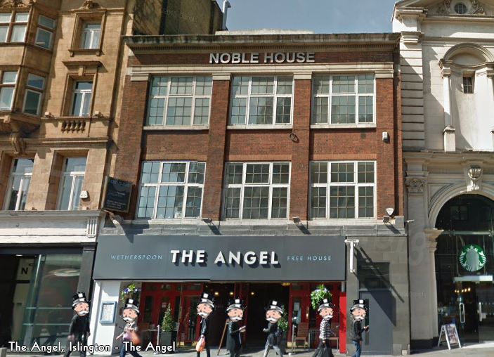
Bus: 15 minutes
- Walk About 1 min , 249 ft
- Liverpool Street (Stop F) Bus205 towards Cleveland Terrace – 13 min (10 stops) to Angel Islington (Stop J)
- Walk About 2 min , 358 ft
NOTE: The Northern line will take you to the Angel, but there is works being done until December 2015. Escalators are out and the Angel is the deepest station. If you do not like hights, do not use this station. I like the bus better for this journey. Walking will take at least 30 mins.
The Angel (The Angel Pub) to Pentonville Rd (The Lexington) – 1/4 of the way
TO 
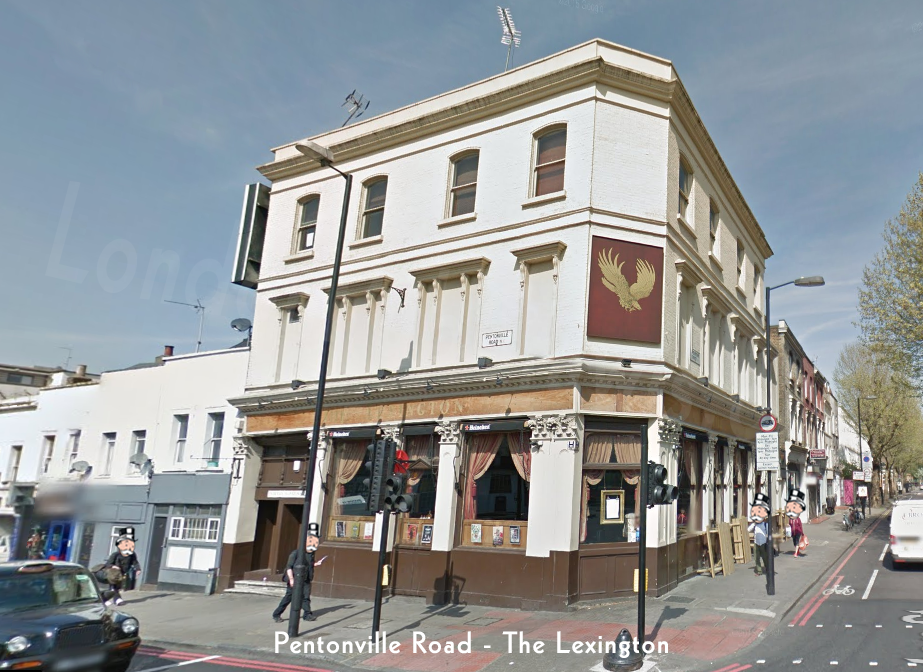
Walking: 5 minutes
- Head south on Islington High St/A1 toward Goswell Rd/A501 – 85 ft
- Turn right onto Pentonville Rd/A501 – Destination will be on the right – 0.2 mi
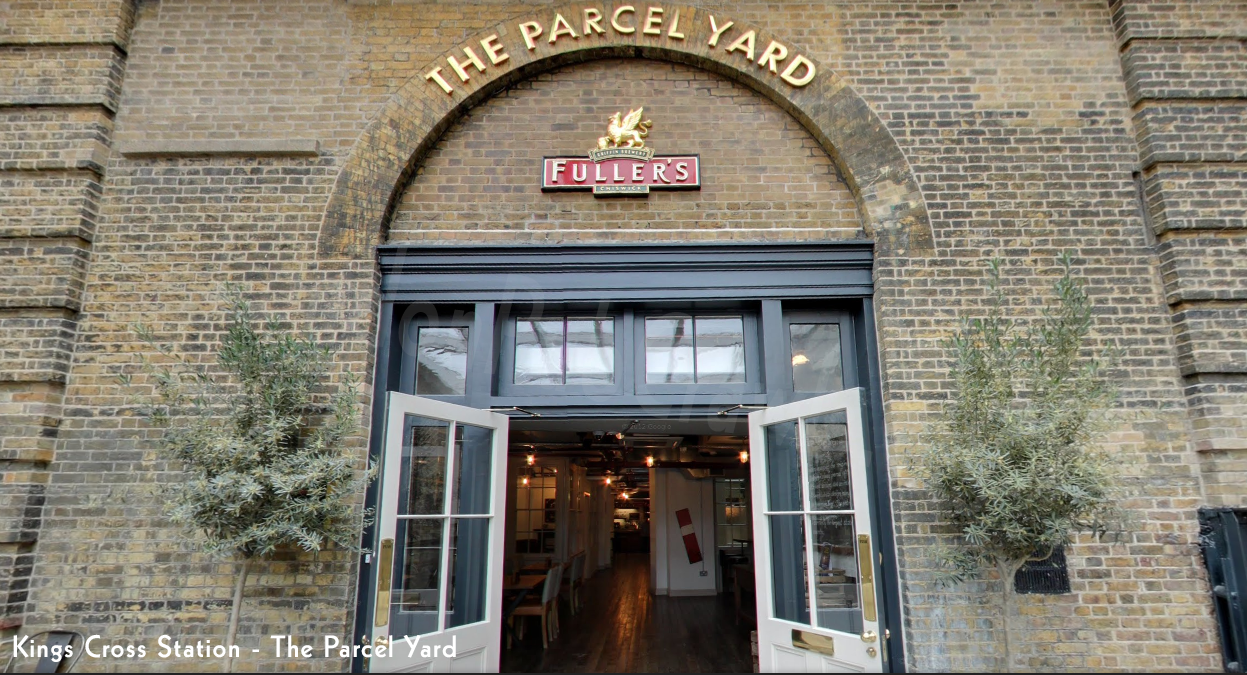
Pentonville Rd (The Lexington) to Kings Cross Station (The Parcel Yard)
TO 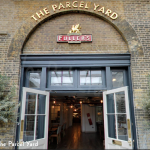
Walking: 15 minutes
- Head west on Pentonville Rd/A501 toward Hermes St
- Continue to follow A501 – 0.5 mi
- Turn right – 85 ft
- Walk for 0.1 mi
- Take the elevator up to M – 0.0 mi
- Walk for 164 ft
Kings Cross Station (The Parcel Yard) to Euston Rd (The Euston Flyer)
TO 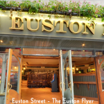
Walking – 8 minutes
- Walk for 39 ft
- Take the stairway down to G – Take the stairs – 36 ft
- Walk for 446 ft
- Head south toward Pancras Rd/A5202 – 203 ft
- Turn left onto Pancras Rd/A5202 – 125 ft
- Slight right toward Euston Rd/A501 – 46 ft
- Turn right toward Euston Rd/A501 – 23 ft
- Walk for 157 ft
- Head southeast – 7 ft
- Turn right toward Euston Rd/A501 – 253 ft
- Turn left toward Euston Rd/A501 – 79 ft
- Turn right onto Euston Rd/A501 – Destination will be on the left – 285 ft
Euston Rd (The Euston Flyer) to Marylebone Station (Victoria and Albert)
TO 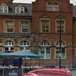
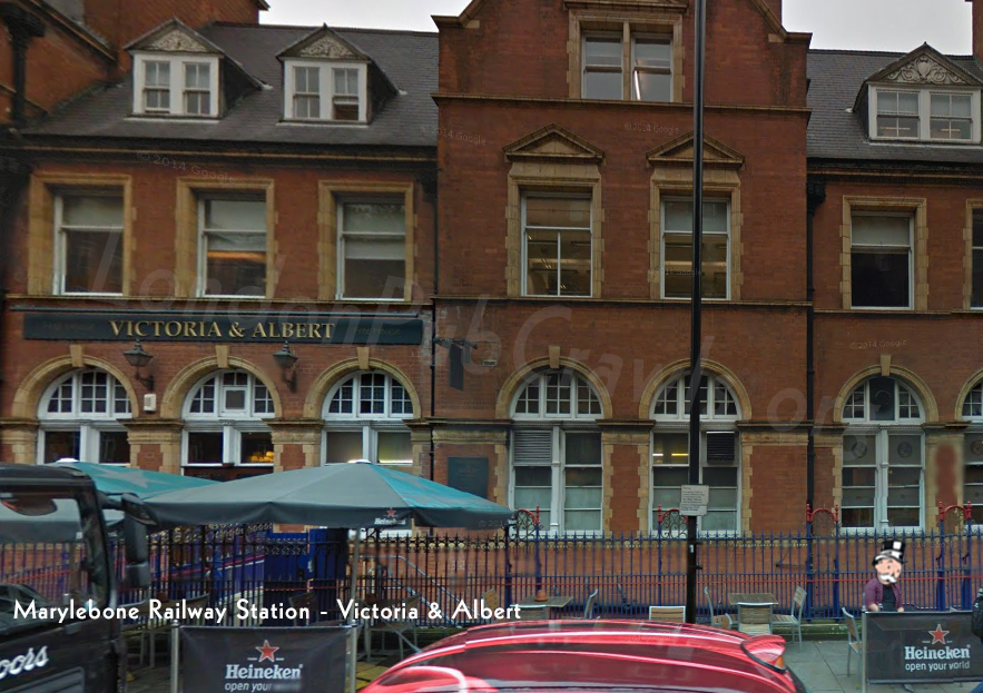
Bus: 18 Minutes
- Walk About 1 min , 420 ft
- British Library (Stop B) Bus 205 towards Cleveland Terrace – 16 min (10 stops) – Marylebone (Stop LA)
- Walk About 1 min , 151 ft
Walking is over 30 minutes.
Marylebone Station (Victoria and Albert) to Park Lane (Rose & Crown)
TO 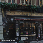

Bus: 17 Minutes
- Marylebone (Stop L) – Bus2 towards West Norwood Bus Garage – 15 min (6 stops) – London Hilton Hotel (Stop B)
- Walk about 2 min , 0.1 mi
Walking is over 30 minutes
Park Lane (Rose & Crown) to Mayfair (Kings Arms)
TO 
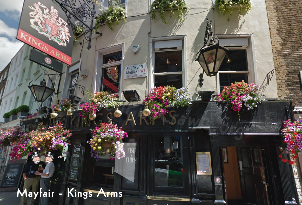
Walking: 5 minutes
- Head southeast on Old Park Ln toward Piccadilly – 95 ft
- Turn left onto Piccadilly – 0.2 mi
- Turn left onto White Horse St – 381 ft
- Turn right onto Shepherd Market – Destination will be on the right – 10 ft
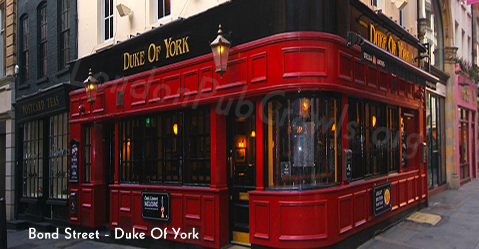
Mayfair (Kings Arms) to Bond Street (The Duke Of York)
TO 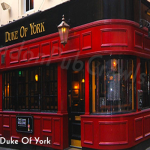
Walking: 15 Minutes
- Head north on Shepherd Market toward Curzon St – 217 ft
- Turn right onto Curzon St – 0.1 mi
- Slight left onto Fitzmaurice Pl – 203 ft
- Slight left toward Berkeley Square – 52 ft
- Turn right at Charles St – 115 ft
- Continue onto Berkeley Square – 453 ft
- Slight right to stay on Berkeley Square – 180 ft
- Continue onto Davies St – 0.2 mi
- Turn right onto Brook St – 0.1 mi
- Turn left onto New Bond St – 325 ft
- Turn right onto Dering St – Destination will be on the left – 102 ft
Closed pub to Bond Street. Just walk onto the street and have a swig. Mission accomplished.
Bond Street (The Duke Of York) to Regent Street (The Argyll Arms) – Half Way There!
TO 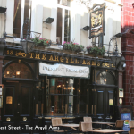
Walking: 6 Minutes
- Head northeast on Dering St toward Tenterden St – 33 ft
- Turn right onto Tenterden St – 440 ft
- Turn right onto Harewood Pl – 33 ft
- Slight left onto Hanover Square – 95 ft
- Turn left onto Princes St – 387 ft
- Turn left onto Regent St/A4201 – 230 ft
- Turn right onto Oxford St/A40 – 174 ft
- Turn right onto Argyll St – 105 ft
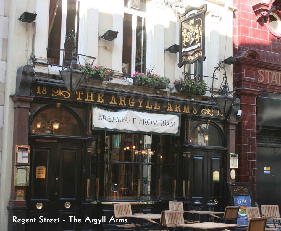
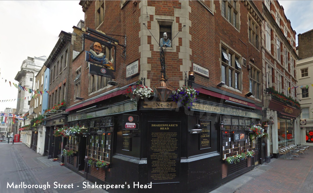
Regent Street (The Argyll Arms) to Marlborough Street (Shakespeare’s Head)
TO 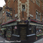
Walking: 2 Minutes
- Head southeast on Argyll St toward Little Argyll St – 436 ft
- Turn left onto Great Marlborough St – Destination will be on the right – 95 ft
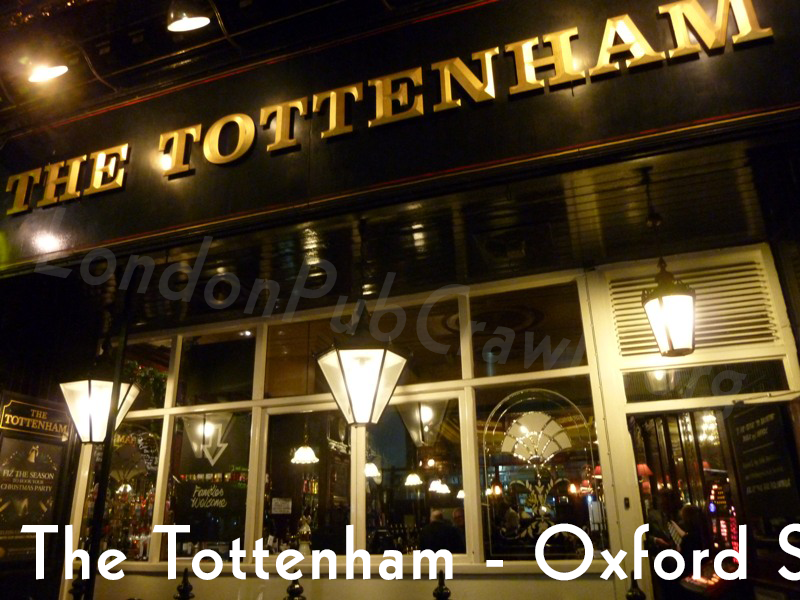
Marlborough Street (Shakespeare’s Head) to Oxford Street (The Tottenham)
TO 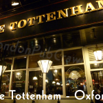
Walking: 9 Minutes
- Head northeast on Great Marlborough St toward Carnaby St – 0.1 mi
- Continue onto Noel St – 449 ft
- Continue onto Hollen St – 243 ft
- Turn left onto Great Chapel St – 184 ft
- Turn right onto Oxford St/A40 – Destination will be on the left – 0.2 mi
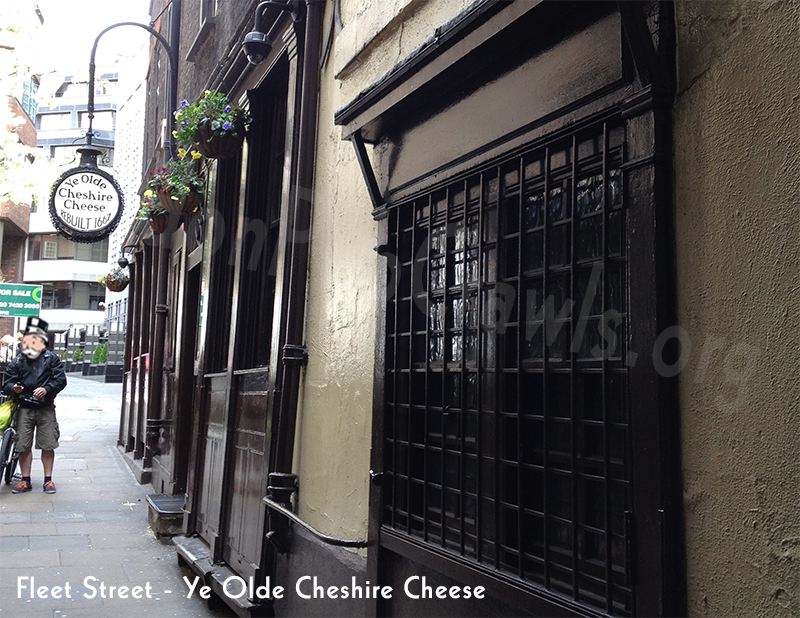
Oxford Street (The Tottenham) to Fleet Street (Ye Olde Cheshire Cheese)
TO 
Bus: 19 Minutes
- Walk – About 3 min , 0.1 mi
- New Oxford Street (Stop Z) – Bus1 towards Canada Water Bus Station – 7 min (3 stops)
- Aldwych Royal Cts of Justice (Stop K)
- Walk – About 9 min , 0.4 mi
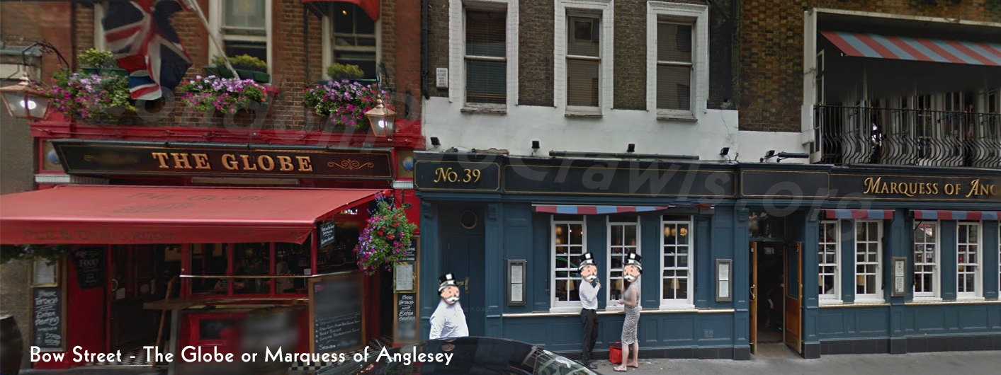
Fleet Street (Ye Olde Cheshire Cheese) to Bow Street (Marquess of Anglesey or The Globe)
TO 
- Head west on Fleet St toward Wine Office Ct – 0.1 mi
- Slight right onto Fleet St/A4 – Continue to follow A4 – 0.4 mi
- Turn right onto Drury Ln – 0.1 mi
- Turn left onto Russell St – 472 ft
- Turn right onto Bow St – Destination will be on the right – 49 ft
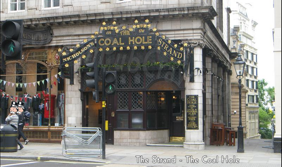
Bow Street (Marquess of Anglesey or The Globe) to The Strand (The Coal Hole)
TO 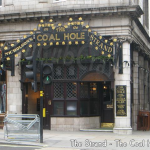
Walking: 4 Minutes
- Head southeast on Bow St toward Russell St – 49 ft
- Turn right onto Russell St – 233 ft
- Turn left toward Southampton St – 141 ft
- Turn right at Tavistock Ct – 262 ft
- Turn left onto Southampton St – 482 ft
- Take the crosswalk – Destination will be on the right – 52 ft
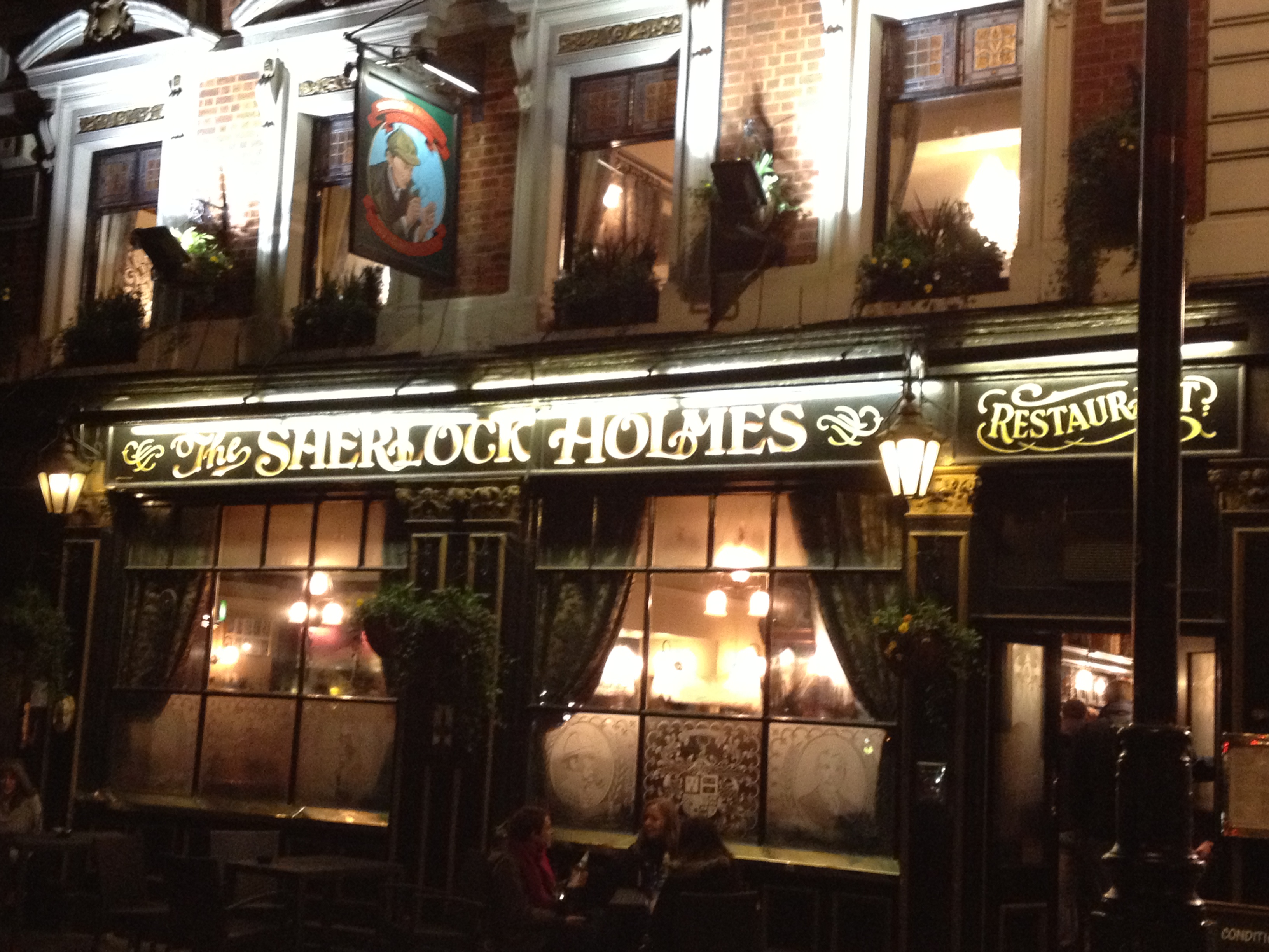
The Strand (The Coal Hole) to Northumberland Ave (The Sherlock Holmes)
TO 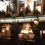
Walking: 6 Minutes
- Head southwest on Strand/A4 toward Carting Ln – 331 ft
- Turn left onto Adam St – 167 ft
- Turn right onto John Adam St – 0.1 mi
- Turn left onto Villiers St – 105 ft
- Turn right onto Craven Passage – Take the stairs – Destination will be on the right – 390 ft
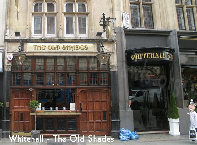
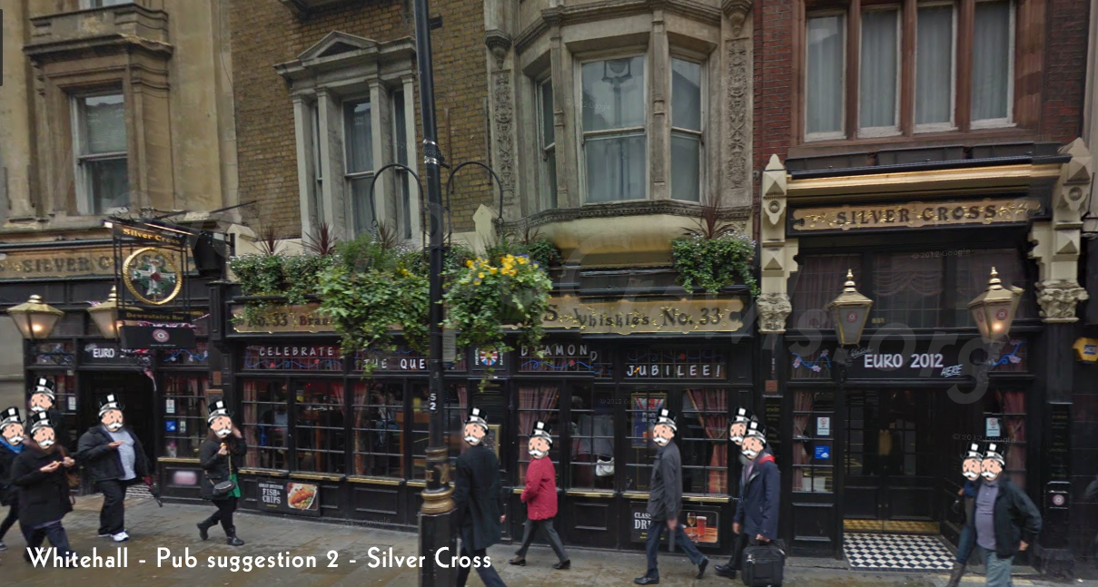
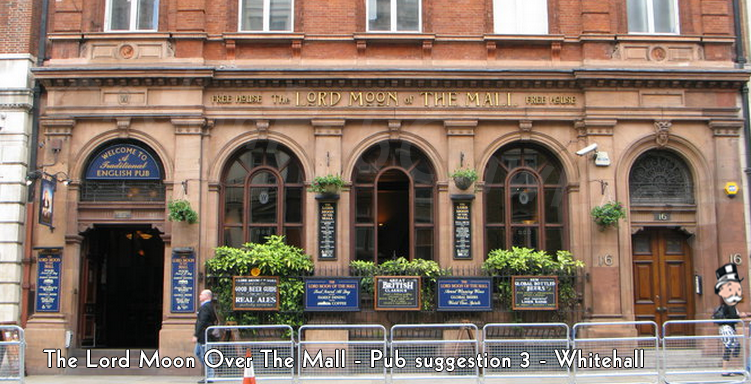
Northumberland Ave (The Sherlock Holmes) to Whitehall (Old Shades or Silver Cross or The Lord Moon over the Mall) – 3/4 of the way – keep going!
TO 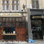 OR
OR 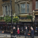 OR
OR 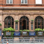
Walking: 3 – 4 Minutes
Old Shades:
- Head southwest on Craven Passage toward Northumberland St – 75 ft
- Slight left onto Northumberland St – 43 ft
- Turn left onto Northumberland Ave – 92 ft
- Turn right onto Great Scotland Yard – 0.1 mi
- Turn right onto Palace of Whitehall/Whitehall/A3212 – Destination will be on the right – 144 ft
Sliver Cross
- Head southwest on Craven Passage toward Northumberland St – 75 ft
- Slight left onto Northumberland St – 43 ft
- Turn left onto Northumberland Ave – 92 ft
- Turn right onto Great Scotland Yard – 0.1 mi
- Turn right onto Palace of Whitehall/Whitehall/A3212 – Destination will be on the right – 223 f
The Lord Moon over the Mall
- Head southwest on Craven Passage toward Northumberland St – 75 ft
- Slight left onto Northumberland St – 43 ft
- Turn left onto Northumberland Ave – 92 ft
- Turn right onto Great Scotland Yard – 0.1 mi
- Turn right onto Palace of Whitehall/Whitehall/A3212 – Destination will be on the left – 174 f
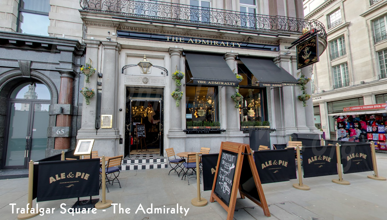
Whitehall (Old Shades or Silver Cross or The Lord Moon of the Mall) to Trafalgar Square (The Admiralty Pub)
OR OR TO 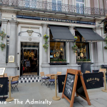
Walking: 3 Minutes
- Head north on Palace of Whitehall/Whitehall/A3212 toward Craig’s Ct – 190 ft
- Slight left to stay on Palace of Whitehall/Whitehall/A3212 – 95 ft
- At the roundabout, take the 3rd exit onto Trafalgar Square/A4 – Destination will be on the left – 285 ft
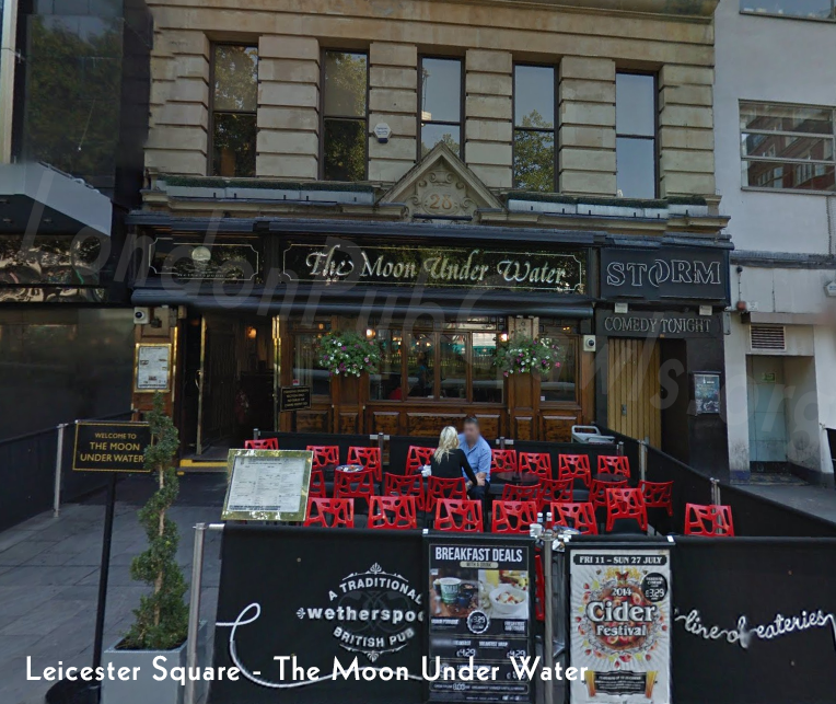
Trafalgar Square (The Admiralty Pub) to Leicester Square (The Moon Under Water)
TO 
Walking: 6 Minutes
- Head northeast toward Cockspur St/A4 – 72 ft
- Turn left onto Trafalgar Square/A4 – Continue to follow A4 – 466 ft
- Turn right onto Whitcomb St – 262 ft
- Turn right onto St Martin’s St – 499 ft
- Turn right onto Leicester Square – 128 ft
- Turn left to stay on Leicester Square – Destination will be on the right – 69 ft
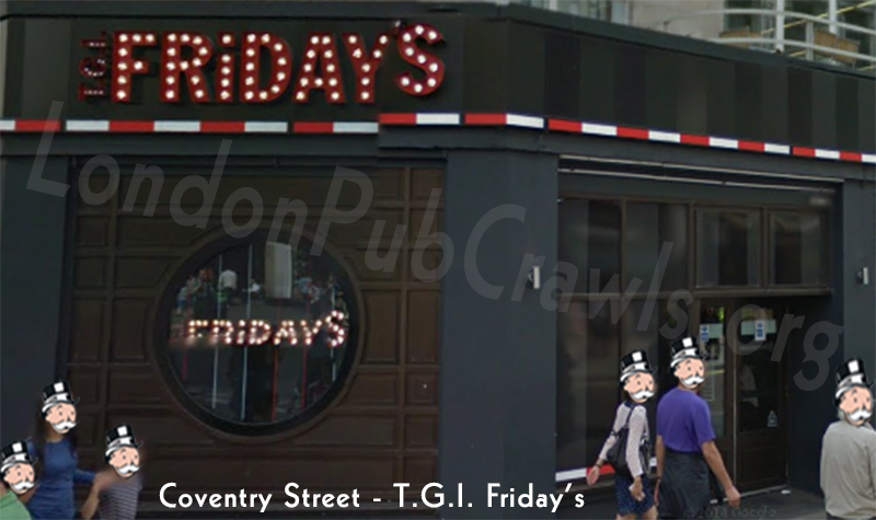
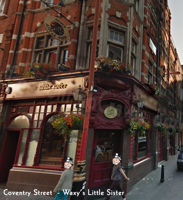
Leicester Square (The Moon Under Water) to Coventry Street (T.G.I Friday’s Though, we recommend a pub instead and it’s Waxy’s Little Sister.) – 3/4 Almost there!
TO  OR
OR 
Walking: 3 Minutes
T.G.I Fridays:
- Head south on Leicester Square – 52 ft
- Turn right to stay on Leicester Square – 138 ft
- Turn left to stay on Leicester Square – 43 ft
- Turn right to stay on Leicester Square – 62 ft
- Turn left to stay on Leicester Square – 148 ft
- Turn left onto Swiss Ct – 151 ft
- Continue onto Coventry St – Destination will be on the left – 217 ft
Waxy’s Little Sister:
- Head south on Leicester Square – 52 ft
- Turn right to stay on Leicester Square – 138 ft
- Turn left to stay on Leicester Square – 43 ft
- Turn right to stay on Leicester Square – 62 ft
- Turn left to stay on Leicester Square – 148 ft
- Slight right onto Leicester St – 249 ft
- Turn left onto Lisle St – 125 ft
- Turn right onto Wardour St – Destination will be on the right – 30 ft
Coventry Street (T.G.I Friday’s / Waxy’s Little Sister.) to Piccadilly (The Queen’s Head)
OR To 
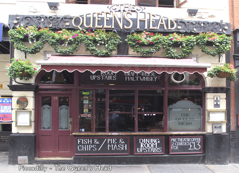
Walking: 3 – 4 Minutes
From Waxy’s Little Sister:
- Head northwest on Wardour St toward Rupert Ct – 52 ft
- Turn left onto Rupert Ct – 180 ft
- Turn right onto Rupert St – 167 ft
- Turn left onto Shaftesbury Ave/A401 – 341 ft
- Turn right onto Denman St – Destination will be on the right – 331 ft
From T.G.I. Fridays:
- Head west on Coventry St toward Shaver’s Pl – 253 ft
- Turn right onto Great Windmill St – 253 ft
- Slight left onto Denman St – Destination will be on the right – 331 ft
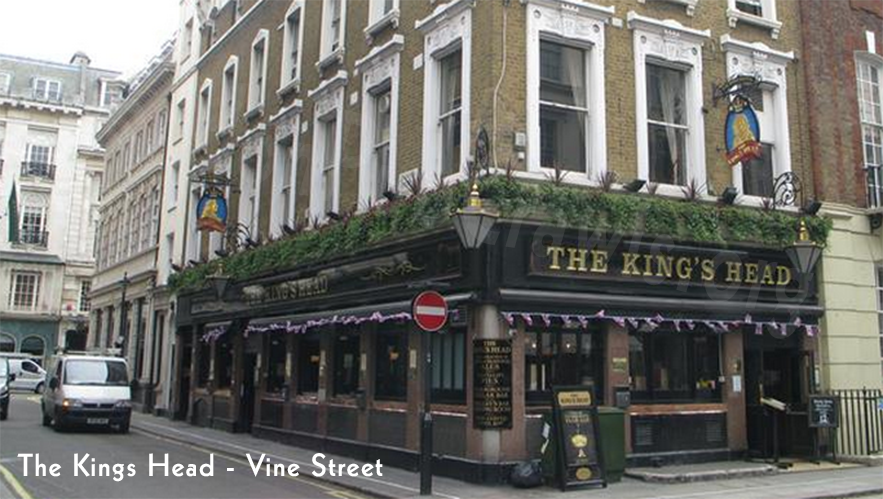
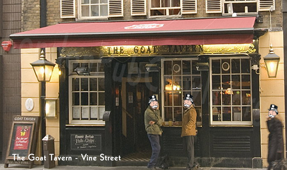
Piccadilly (The Queen’s Head) to Vine Street (The King’s Head or Goat Tavern)
TO 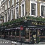 OR
OR 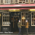
Walking: 7 – 8 Minutes
The King’s Head:
- Head west on Denman St toward Sherwood St – 59 ft
- Turn left onto Sherwood St – 20 ft
- Turn right onto Wilder Walk – 105 ft
- Turn right onto Glasshouse St – 0.1 mi
- Continue onto Vigo St – 341 ft
- Continue onto Burlington Gardens – 456 ft
- Turn left onto Old Bond St – 276 ft
- Turn right onto Stafford St – Destination will be on the left – 131 ft
Goat Tavern:
- Head west on Denman St toward Sherwood St – 59 ft
- Turn left onto Sherwood St – 20 ft
- Turn right onto Wilder Walk – 105 ft
- Turn right onto Glasshouse St – 0.1 mi
- Continue onto Vigo St – 341 ft
- Continue onto Burlington Gardens – 456 ft
- Turn left onto Old Bond St – 276 ft
- Turn right onto Stafford St – Destination will be on the right – 82 ft
The closest pubs to Vine Street. The King’s Head or Goat Tavern across the street. Vine street is a dead end with nothing on it. Bentley’s Oyster Bar and Grill is on Swallow, but we don’t recommend a crowd going in there. If your crawl is small, you might be able to get drinks without ordering food. Your best bet is the pubs to be honest.
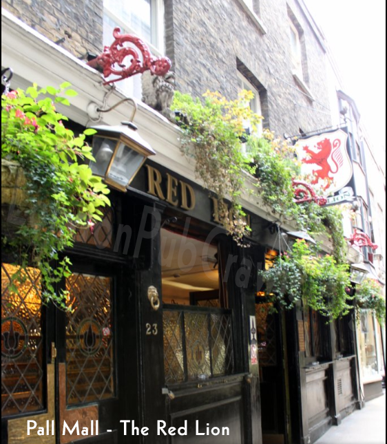
Vine Street (The King’s Head or Goat Tavern) to Pall Mall (The Red Lion) – You made it to the end!! – 100% Complete
OR TO 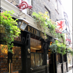
Walking: 6 Minutes
From Either the The Kings Head or Goat Tavern:
- Head southwest on Stafford St toward Albemarle St – 89 ft
- Turn left onto Albemarle St – 381 ft
- Continue onto St James’s St/A4 – 0.2 mi
- Slight left to stay on St James’s St/A4 – 138 ft
- Turn left onto Pall Mall/A4 – 148 ft
- Turn left onto Crown Passage – Destination will be on the left – 30 ft